Range Roads
Private roads for autonomous vehicle testing
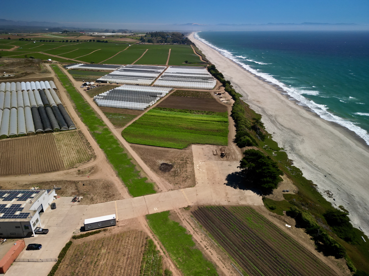
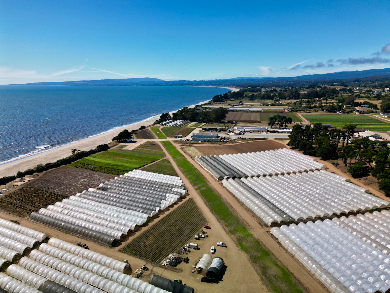
A network of dirt roads runs throughout the campus, creating a controlled environment for terrestrial robotics and autonomous vehicle development. The routes connect runways, ranges, and facilities for end-to-end workflow testing.
Teams leverage AirSpace Integration’s mapping support, LIDAR ground truthing, and safety oversight to validate perception stacks and autonomy behaviors across real-world surfaces.
Gallery:


Characteristics:
- Map Location:
- Dimensions: Various
Ideal For:
- Autonomous vehicle road testing
- LIDAR calibration and ground truthing
- V2X and comms evaluations on campus routes
- End-to-end logistics and convoy scenarios
- Cross-domain ops linking ground and air


